
From 700 km up, every street looks fine.
The first hours of a disaster are mapped from orbit — too coarse, too slow, and only when the sky agrees. The people who know the truth are already standing in it.
Optical satellites need days. And clear skies.
Imaging satellites wait for the next orbital pass — and for the weather to break. After the 2023 Türkiye–Syria earthquake, usable building-level damage maps took days — while search windows were measured in hours. Tonight, the clouds are rolling in.
The fastest sensor network is already deployed.
Four billion smartphones. Beacon turns each one into a damage sensor — no account, no signal, no training required. Let's follow one report from the street it starts on.
Someone is already there.
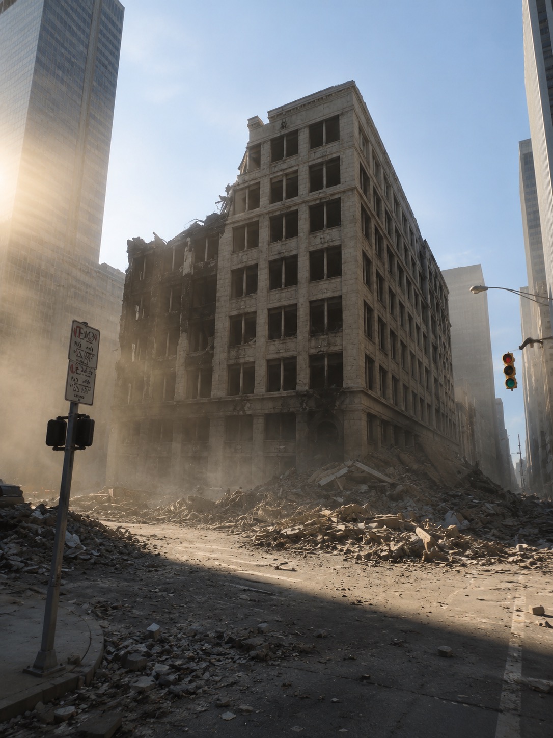
No assessment team, no drone, no clear sky — just a neighbour with a phone, standing in front of a building that used to have four floors.
Photo. Tier. Send.
A neural network reads the photo on the phone itself and suggests the damage tier — advisory only, the human confirms. No cloud, no connection, no taxonomy to learn. Everything past the tier is optional detail.
0 bars.
Cell towers fall with the buildings. For most crisis apps this is the edge case. For Beacon it is the normal case — the whole pipeline assumes silence.
The map was already here.
An 18 MB map pack of your district, downloaded weeks before the ground moved. Offline Plus Codes give every report a shareable address when the street signs are gone.
Written to disk, not to hope.
Every report lands in a durable on-disk queue that survives app restarts and dead batteries. Three reports tonight. They will wait as long as they have to.
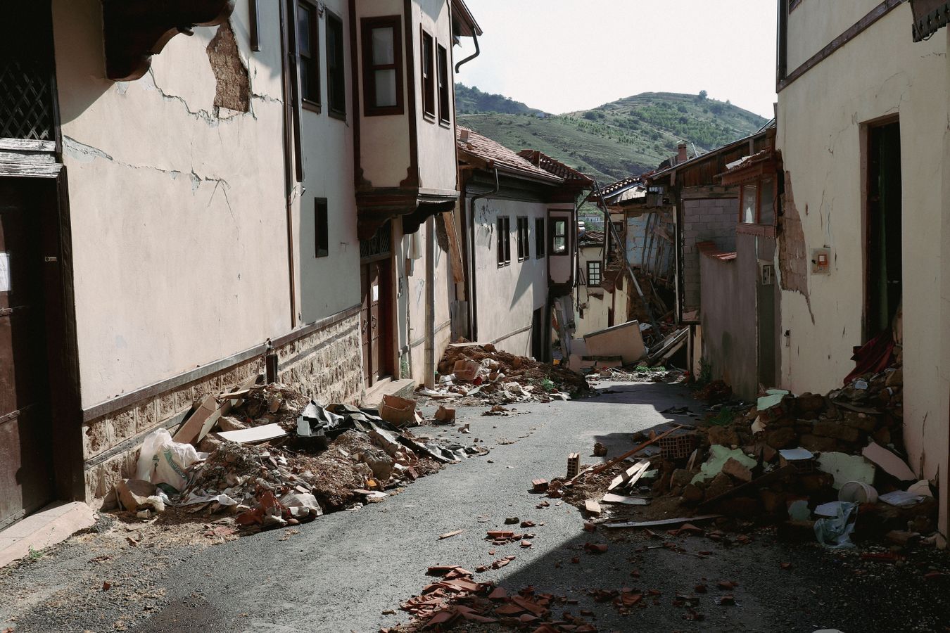
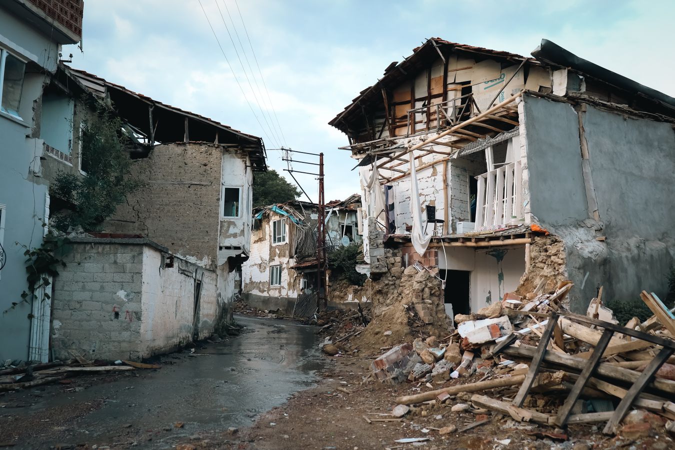
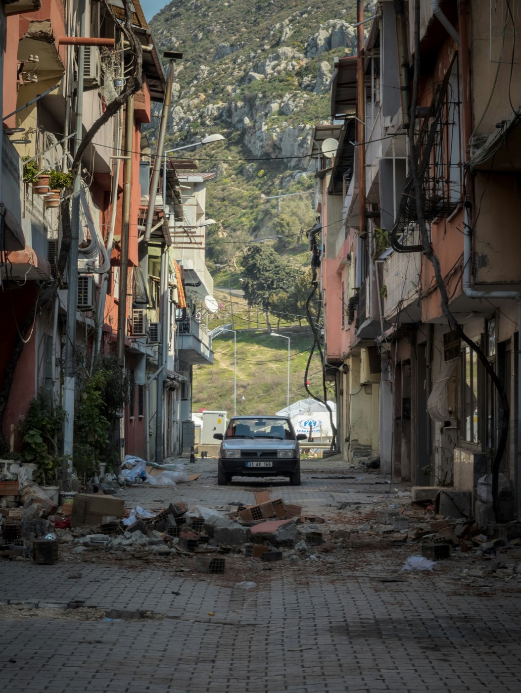
Privacy is the pipeline, not a promise.
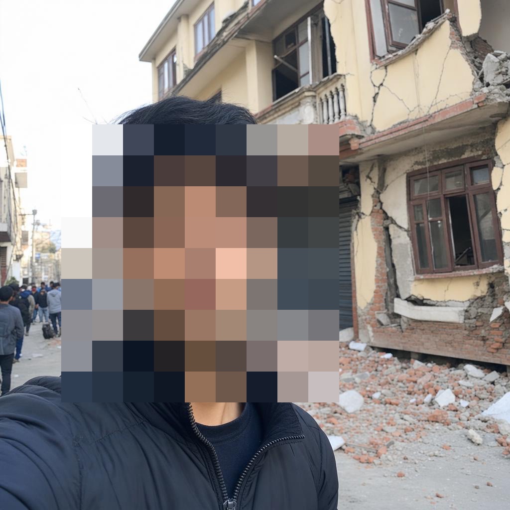
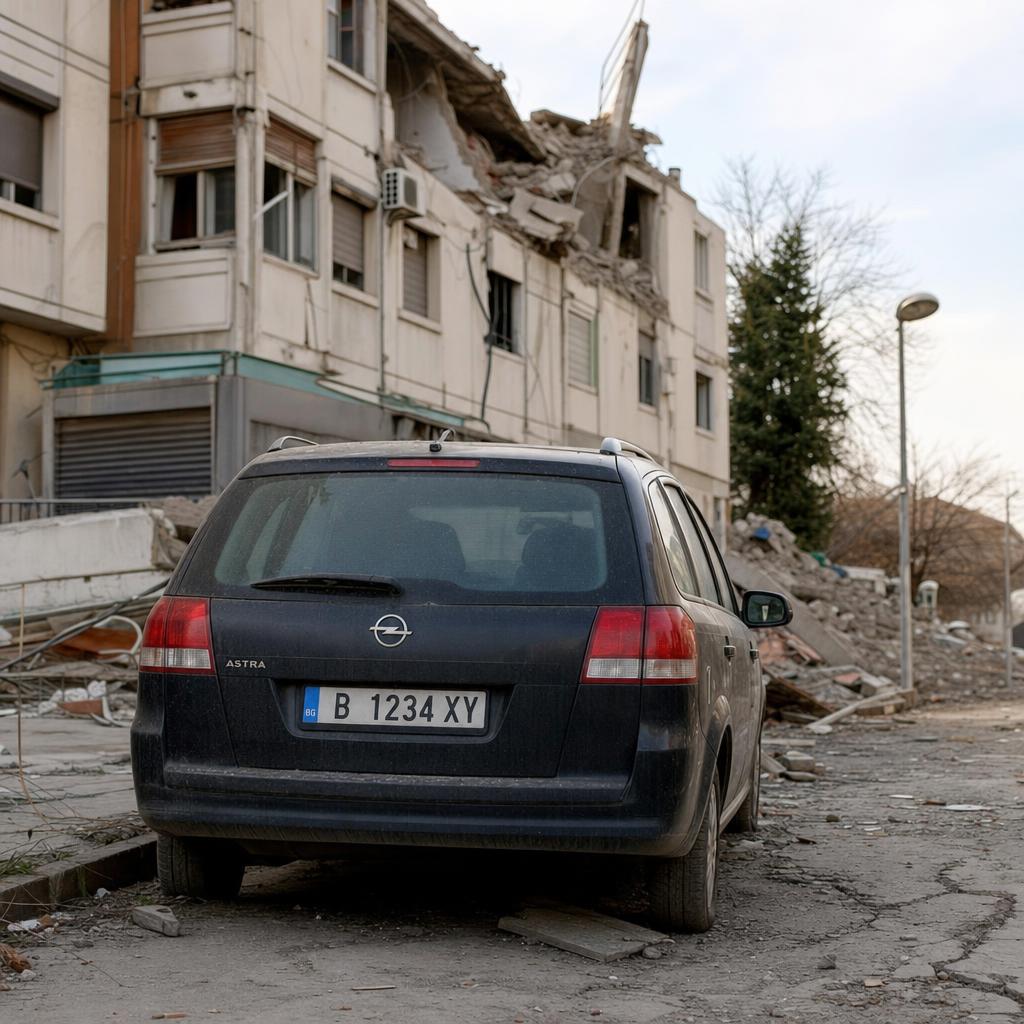
A crisis photo is full of people who never consented to being data. So the redaction runs on the device, while still offline— the pixelated face below is the pipeline's real output, not an artist's impression; the plate scene re-stages the same rule.
No name, no number, no account. An opaque device ID is the only identity — and withdrawing a report erases it from the server.

One bar is enough.
The outbox flushes itself the moment any connection returns. Submissions are idempotent — a retry can never count the same report twice.
A second witness becomes a second version — not a second building.
Two neighbours report the same collapsed house. The server folds them into one versioned record; the damage count stays honest.
From a street to a verified record — in hours, not weeks.
Put a damage sensor in every pocket.
One Kotlin Multiplatform codebase, Android and iOS. The offline map pack and the on-disk outbox are exactly why it belongs on the phone before the crisis, not after.
Sideload-ready APK, no store account needed — store listings follow the pilot.
The other half is the console
The situation room behind this film is real and running: clustered vector tiles, verification and triage, five analyst roles, a one-click situation brief, and exports for the GIS tools already in the building — GeoJSON, HXL CSV, KML, GeoPackage, Shapefile.
Demo accounts are listed on the sign-in page.